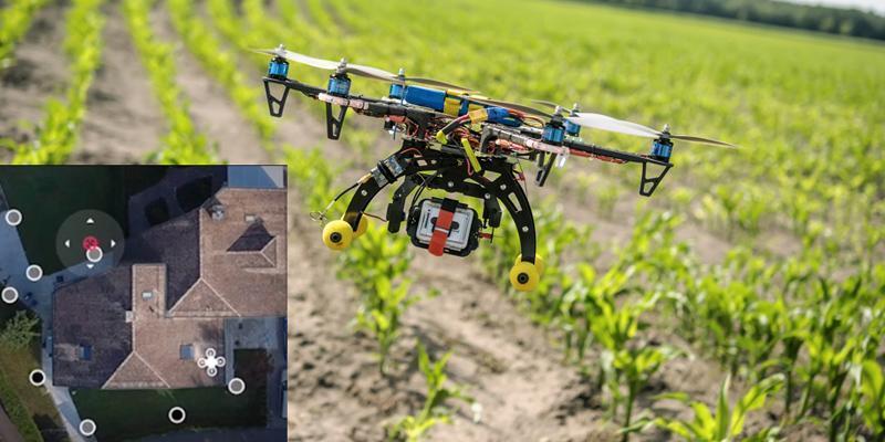
ARiAL
Above Canopy Drone Service
(Coming Soon)

IRGA ARiAL above canopy drone service delivers connected & automated aerial capture capabilities, that help empower plantations with big data. This enables better planning & decision-making.
IRGA ARiAL can also be integrated with IRGA iPLANT to provide land survey, mapping, tree count, tree health, spraying and security surveillance data and dashboards.
Mapping

Tree Count

Plant Health
Spraying
Surveillance
First Person View (FPV)
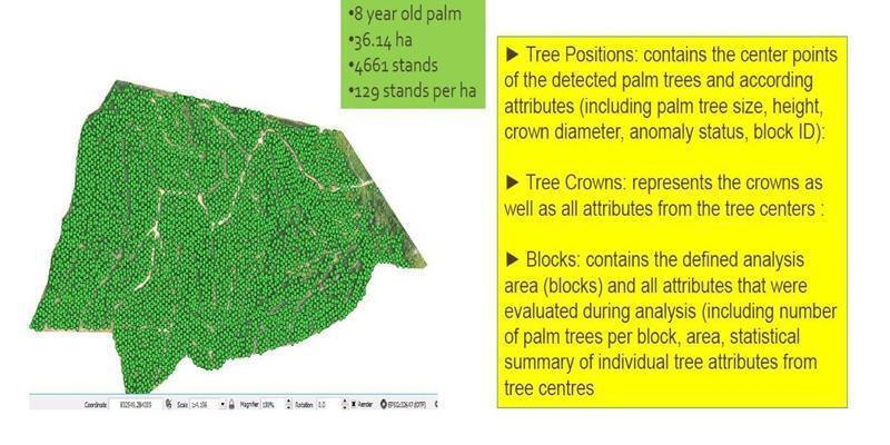
Mapping
With Digital Field Map Processing, IRGA ARiAL mapping analysis generates a digital map that can identify field boundaries, obstacles, tree locating, specific into centre and perimeter.
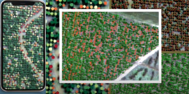
Tree Count
IRGA iPLANT tree count management solution will help plantation managers to facilitate better decision making.
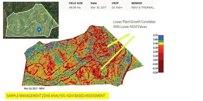
Plant Health
IRGA ARiAL surveying can help to analyse the plant health via aerial images taken during the drone flight.
Plant health analysis is an additional feature of IRGA iPLANT, utilising a multi-spectral imaging system on the drone.
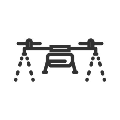
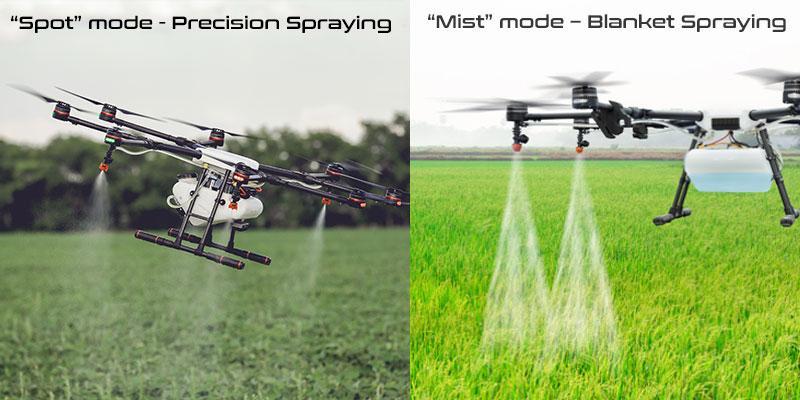
Spraying
Drone spraying can save more than 20% of pesticide usage by via automation. Using the drone’s propeller, the crop spray can be accurately targeted to every layer of crop.
Surveillance
IRGA ARiAL can also be customised for security surveillance, perimeter guarding and aerial monitoring in the plantations, helping maintain the plantation’s security, enhancing situational awareness constantly.
First Person View (FPV)
IRGA ARiAL’s First Person View (FPV) module allows for real-time monitoring of your plantations virtually, around the clock from a remote location. This saves time, effort and resources compared to conventional monitoring.